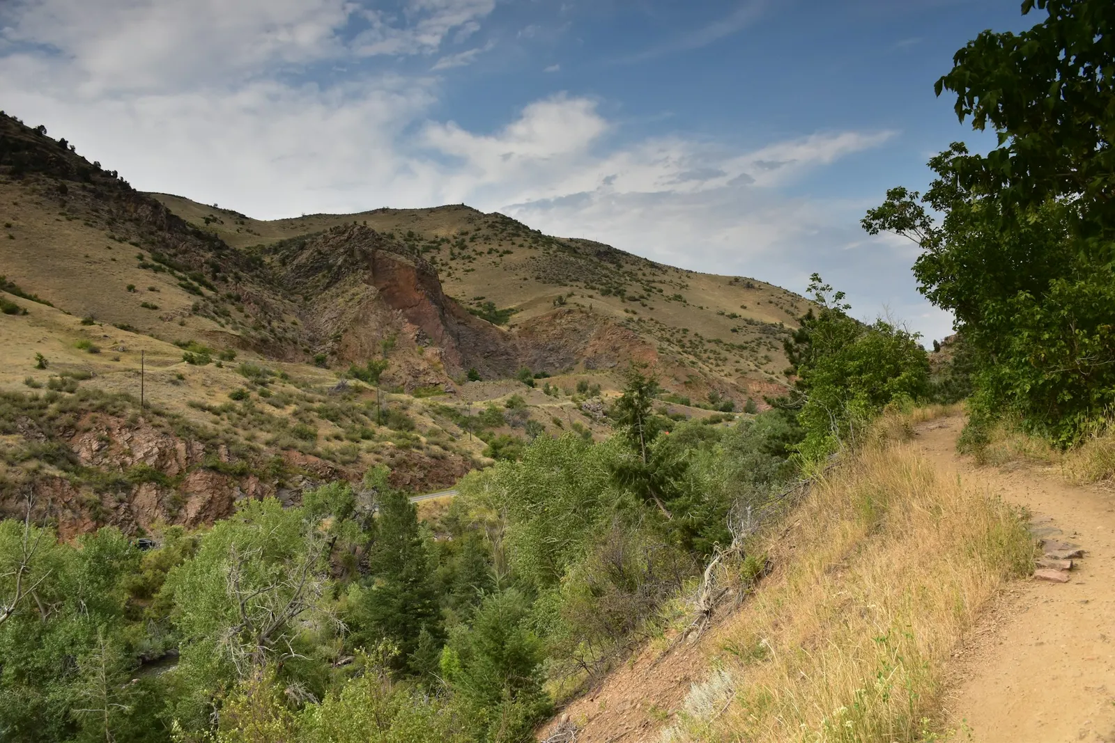
Angel’s Wing is a scenic overnight hiking concept in the sandstone country near Clarens and Golden Gate. It combines a relatively moderate day walk with the appeal of sleeping in a simple mountain hut and carrying a lighter pack.
The trail has historically begun from parking near the R712 Golden Gate road, with hikers transferred by 4x4 to Ouma’s Kraal, the overnight base. As access arrangements, route ownership and transfer options can change, contact the relevant operator or destination authority before setting out to confirm whether the trail is available, where to meet and what the current route conditions are.
The Angel’s Wing itinerary concept
The traditional appeal of Angel’s Wing lies in its unhurried, multi-day format. Rather than loading up for a fully self-supported expedition, hikers would travel to Ouma’s Kraal by 4x4 and begin their walk from the hut area. This gave the experience a comfortable rhythm: arrive, settle in, explore the landscape at walking pace and return without needing to carry every item over the full route.
The main hiking section has been described as roughly 11.5km, with about 300m of ascent. The return walk has historically been approximately 8km. Distances can vary with route choices, access points and any temporary diversions, so regard these figures as useful planning estimates rather than a promise. Ask for an up-to-date route description and map before departure.
Expect an Eastern Free State landscape shaped by sandstone: weathered cliffs, sculpted rock formations, open grassland and sheltered gullies. Depending on recent rain and the exact line of the trail, hikers may encounter waterfalls, streams and inviting rock pools. These features are part of the route’s charm, but they also require sensible foot placement and extra care around wet rock.
Who will enjoy the trail?
Angel’s Wing is best suited to walkers who are comfortable spending several hours on uneven natural ground. The ascent is not extreme for a reasonably active hiker, but the combination of distance, slopes, loose stones, stream crossings and changing weather can make the day feel more demanding than the numbers suggest. A relaxed itinerary does not mean a risk-free or effortless one.
You do not need to be a mountain athlete, but you should be able to walk steadily over hills while carrying a daypack. Build confidence beforehand with regular walks that include inclines, especially if you are travelling from a less active routine. Families and mixed-ability groups should choose their pace carefully and confirm whether the current route is appropriate for children or less experienced hikers.
Allow time to walk slowly
This is country worth noticing rather than rushing through. Sandstone scenery changes with the light, and streamside sections are natural places to pause. Start early enough to leave room for photo stops, a proper lunch break and a conservative return time. Do not rely on mobile reception in remote terrain; tell someone your planned route and expected return.
What to pack
The lighter-pack idea is one of the trail’s attractions, but it still pays to pack for a full day outdoors. Conditions around Clarens and Golden Gate can shift quickly, even when the morning begins warm and clear. Your footwear and waterproof layers matter more than bringing unnecessary luxuries.
- Supportive walking shoes or boots with good grip for rock, mud and uneven trails.
- A small daypack with enough space for water, food, warm layers and rain protection.
- A waterproof jacket and an insulating layer such as fleece or a warm jersey.
- A hat, sunscreen and sunglasses for exposed grassland sections.
- Enough snacks and a packed lunch for the planned walking day.
- A basic first-aid kit, personal medication, blister care and an emergency whistle.
- A charged phone, offline map or printed route information, and a power bank if needed.
- A torch or headlamp, particularly if staying overnight or walking near dusk.
- Clothes, toiletries and sleeping items requested by the hut operator.
Keep weight low, but do not leave out safety essentials. If a transfer is operating, ask what gear may be taken to the hut separately and what must remain in your daypack while walking.
Water, streams and weather
Streams and pools can look wonderfully clear, especially after rain, but hikers should not assume that natural water is safe to drink untreated. Carry sufficient water from the start and ask the operator whether reliable drinking water is available at Ouma’s Kraal or along the current route. If you intend using stream water, take a suitable treatment method and understand how to use it.
Summer thunderstorms can develop fast in the Free State, turning dry-looking paths slippery and making stream crossings more difficult. In colder months, clear days may still begin with frost and end with a sharp chill. Wind can also make exposed sections feel significantly colder. Check a detailed forecast close to departure, but be prepared for a wider range of conditions than the forecast suggests.
After heavy rain, ask specifically about water levels, muddy access roads, slippery sandstone and whether any waterfalls or crossings affect the route. If conditions are poor, accept local advice to delay, shorten or cancel the walk.
Staying at Ouma’s Kraal
Ouma’s Kraal has historically been described as an overnight hut with basic facilities. Treat it as a simple hiking base rather than a serviced lodge. Before travelling, confirm the current sleeping arrangement, bedding requirements, cooking facilities, lighting, waste arrangements and whether there are any restrictions on fires, pets or group size.
Good hut etiquette
- Arrive with food, water and gear organised so that shared spaces stay tidy.
- Use water carefully and leave washing areas cleaner than you found them.
- Keep noise low, especially after dark, and respect other hikers’ rest.
- Pack out all litter unless the operator provides a clear waste system.
- Do not disturb wildlife, remove plants or mark rocks and trees.
- Follow fire rules exactly; mountain grassland is highly vulnerable in dry, windy conditions.
Before you leave Clarens
Angel’s Wing is most rewarding when planned as a flexible outdoor escape rather than a fixed checklist. Confirm availability, permissions, parking instructions, 4x4 transfers, hut access and the current trail line before leaving Clarens or heading along the R712. Ask about recent weather, route markers, water availability and any equipment requirements.
With sound preparation, sturdy shoes and a willingness to take the landscape at its own pace, this sandstone hike offers a memorable way to experience the quieter side of the Clarens and Golden Gate region.